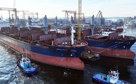


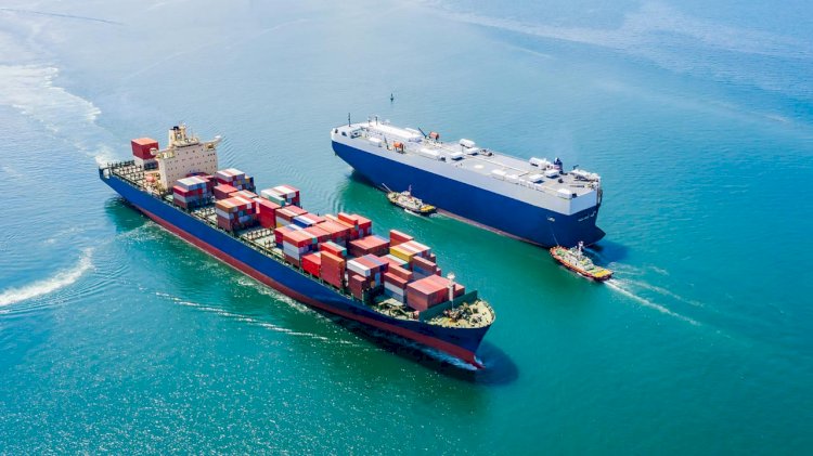
Smart navigation systems can reduce the climate impact in shipping
The research project Prepare Ships, led by RISE Research Institutes of Sweden, will develop a navigation system that foresees the positions of other vessels through machine learning.
This reduces the risk of collisions and enables more efficient navigation. The project has recently been granted funding through the “European GNSS Agency”, GSA.
A consortium of Swedish, Norwegian and German partners has now been given the go-ahead for their research and innovation project that will increase safety and efficiency in shipping. The goal of Prepare Ships is to create a positioning solution for smart and connected navigation applications.
John Rune Nielsen, Research and Business Development Director at RISE, says:
"We are very pleased to be able to bring together the shipping value chain in this project that uses advanced machine learning."
One of the main causes of ship collisions today is lack of awareness of the position and intention of other vessels. By being able to predict future positions for vessels in the vicinity with high position accuracy by EGNSS and machine learning and exchange these dynamic predictions with the vessels nearby with VDES, smarter decisions can be made. In addition to reducing the risk of collisions, this allows for more energy efficient maneuvering of the vessels, which contributes to reduced environmental impact of shipping.
In addition to RISE, the project also includes Telko (Norway), SAAB (Sweden), ANAVS (Germany), (Swedish mapping, cadastral and land registration authority) and supported by Stena Line (Sweden). The project runs over 26 months and starts in December 2019.
Comments from partners in Prepare Ships:
Pål Hansen, Vice President R&D, Telko:
"Prepare Ships will combine technologies supporting officers on manned ships as well as shore-based operators controlling unmanned ships and can compensate for the shortage of experienced marines. The developed product shall also be applicable to other applications requiring high accuracy, highly robust position, also enabling yet unidentified markets."
Anders Sandin, head of the Geodata division, Land Survey:
"By working closely with our partners in this project, we strive to lead the way in providing a reliable high accuracy positioning service based on GNSS (Global Navigation Satellite System). Our aim is not only to meet safety requirements for smart maritime applications, the goal is also to understand how to adapt our geodetic infrastructure to new GNSS mass market applications and how to use enhanced European GNSS services by testing real use cases and scenarios through this project.”


