


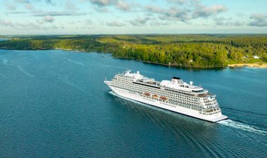


Scientists have developed a novel solution to mapping deep ocean
Scientists have developed a novel solution to mapping the southern hemisphere’s deep ocean which they hope will fill gaps in knowledge around the species and habitats it contains.
Like much of the Global South, there has until now been little scientific exploration of the South Atlantic and knowledge of its diversity is limited as a consequence.
This hinders the management of such areas, something increasingly seen as being of critical importance as talks continue around the development of High Seas Marine Protected Areas.
To address that, an international team of researchers – led by the University of Plymouth – began investigating whether a technique combining mathematical modelling and underwater video footage of deep-sea coral reefs from the well-studied North Atlantic could be applied to the poorly-understood South Atlantic.
In the new research, published in the Journal of Environmental Management, researchers then used the very few known locations of reefs in the South Atlantic to assess the new predictions provided by the model and found it performed well.
They also found that more than two-thirds of the seabed areas identified as being suitable for deep water corals in the South Atlantic are currently covered by nationally managed Marine Protected Areas, and therefore protected from activities such as trawl-fishing.
Amelia BridgesAmelia Bridges, Research Fellow, said:
“Until recently, there has been very little research in the deep South Atlantic Ocean. With the UN High Seas Treaty on the horizon, the designation of Marine Protected Areas in these vast and isolated areas is becoming a reality. As a result, it’s crucial we have accurate maps of where species live so that we can sustainably manage our oceans, ensuring their future conservation.”
The new study builds on research used to create the most comprehensive map yet of the UK and Ireland’s coral reefs in 2022 – also led by the University. This model, published last year by Professor of Deep-Sea Ecology Kerry Howell and her team, used decades of data collected across several oceanic expeditions in the northeast Atlantic.
Kerry HowellKerry Howell, Professor of Deep-Sea Ecology, said:
“We do not have good maps of where different ecosystems are found in the deep sea. This research shows that our methods can help fill those vast data gaps, enabling us to better map life in the deep sea. This is critical because maps form the basis of decisions on where we allow human activities like bottom trawling to take place, and where we protect.”
The potential value of this pioneering approach is clear, in that it provides some of the first predictive habitat maps for never-before-seen areas.
Dr Lizette Voges, a co-author on the study, is Executive Secretary of the South East Atlantic Fisheries Organisation which is responsible for managing fisheries in much of the South Atlantic. She said:
“This work represents a significant enhancement in our ability to sustainably manage fisheries in the High Seas. By providing maps of where Vulnerable Marine Ecosystems (VMEs) are likely to occur, we can inform area-based management. This could, for example, enable us to prohibit fishing activity in areas where VMEs are highly likely to occur, and make informed decisions on areas which had previously been closed as a precaution due to lack of information.”
In addition to researchers at the University of Plymouth, the study involved partners at the Centre for Environment, Fisheries and Aquaculture Science, British Antarctic Survey, and the Institute of Marine Research in Norway. It was made possible through a UK-Norway-Namibia collaboration and used newly collected data for the South Atlantic from organisations including the EAF-Nansen Programme and National Geographic.


